
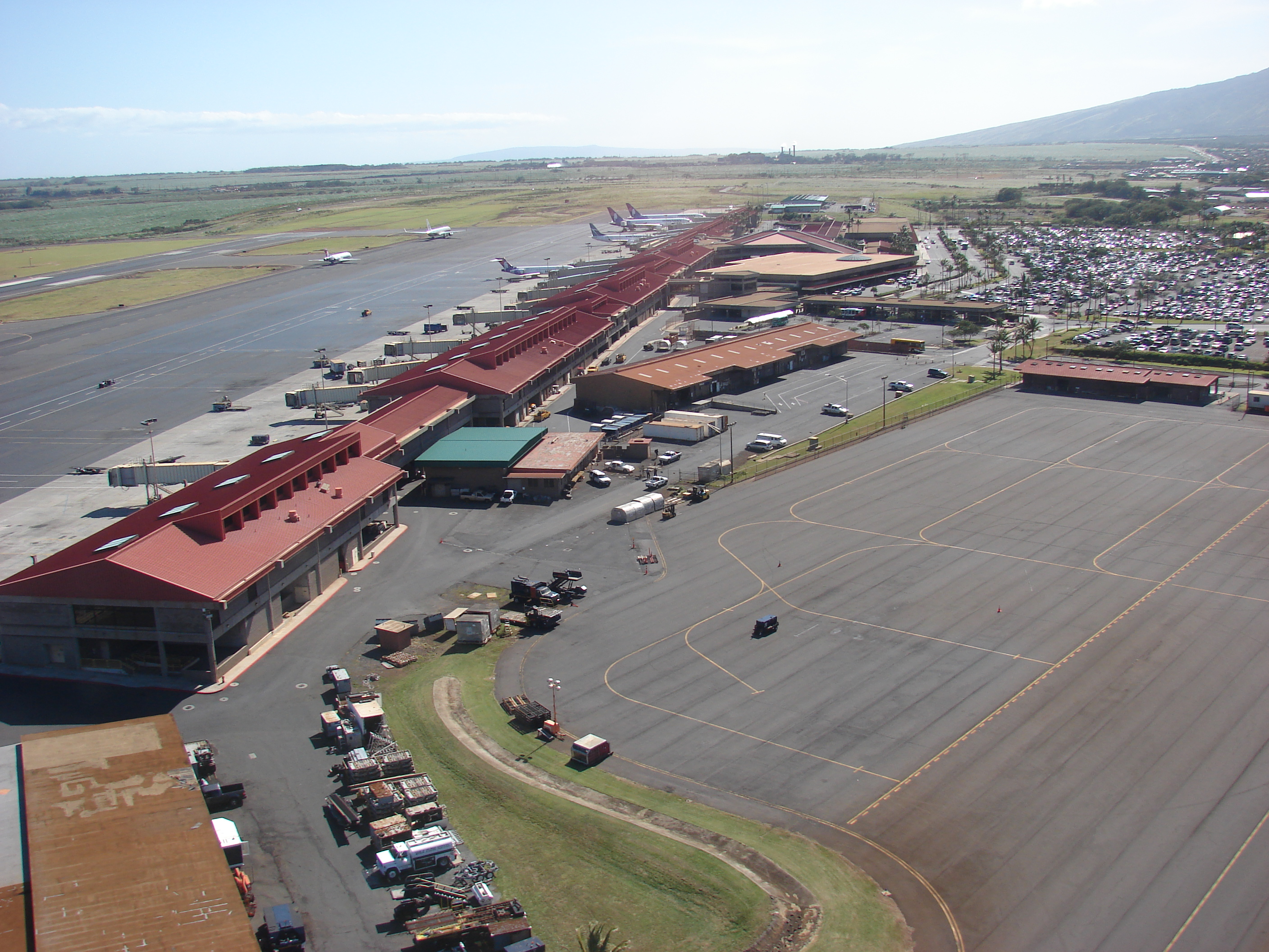
Kahului International Airport
PHOG
Kahului, US
METAR data is currently unavailable for this airport.
Charts for PHOG
ADAPPSID
Aerodrome charts for PHOG
Instrument Approach charts for PHOG
Standard Terminal Arrival Chart - CAMPS FOUR
Standard Terminal Arrival Chart - LAVAS ONE (RNAV)
Standard Terminal Arrival Chart - LNDHY ONE (RNAV)
Instrument Approach Procedure - ILS Y OR LOC Y RWY 02
Instrument Approach Procedure - ILS Z OR LOC Z RWY 02
Instrument Approach Procedure - RNAV (GPS) RWY 20
Instrument Approach Procedure - RNAV (GPS) RWY 23
Instrument Approach Procedure - RNAV (GPS) Y RWY 02
Instrument Approach Procedure - RNAV (RNP) Z RWY 02
Instrument Approach Procedure - SMOKE STACK VISUAL RWY 02
Instrument Approach Procedure - VOR Z OR TACAN RWY 20
Departure charts for PHOG
Arrival charts for PHOG
Miscellaneous charts for PHOG
Runway Info For PHOG
Runway 02
Bearing : 35
Runway 20
Bearing : 215
Runway 05
Bearing : 56
Runway 23
Bearing : 236