Home
Weather
Charts
Bot
Home
Weather
Charts
Bot
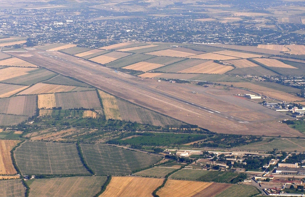
Namangan International Airport
UZFN
Namangan, UZ
METAR data is currently unavailable for this airport.
General Info For UZFN
City :
Namangan
Country :
UZ
Elevation :
1555 ft
Lon/lat:
71.5578/40.9846
Runway Info For UZFN
No runway information available.
Airport WX Planner
© Bastien1533
Map
|
Privacy Policy
|
Github
|
About
|
Discord
Live METAR/TAF and Charts For Namangan International Airport (UZFN)