
Fort Stockton Pecos County Airport
KFST
Fort Stockton, US
METAR data is currently unavailable for this airport.
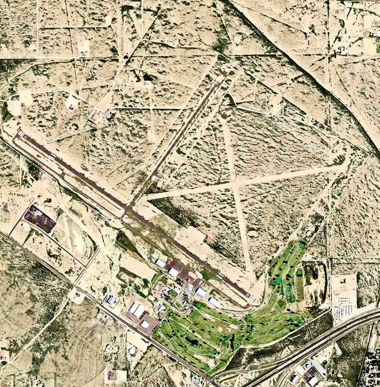
Runway Info For KFST
Runway 03
Bearing : 37
Runway 21
Bearing : 217
Runway 07
Bearing : 81
Runway 25
Bearing : 261
Runway 11
Bearing : 128
Runway 29
Bearing : 308
Runway 12
Bearing : 127
Runway 30
Bearing : 307
Runway 16
Bearing : 171
Runway 34
Bearing : 351